Keremeos - E Live Traffic Camera
Highway 3 at Keremeos Bypass Road, looking east.
Location: Area G (Upper Similkameen/Hedley), Regional District of Okanagan-Similkameen, British Columbia, Canada
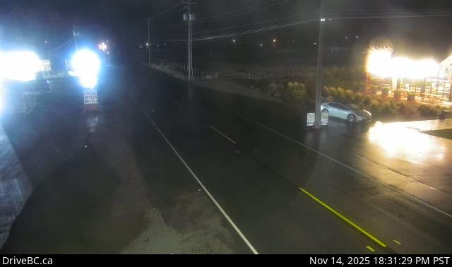
Image source: BC Ministry of Transportation and Transit
Latitude: 49.20536
Longitude: -119.841449
Google Maps: View
Apple Maps: View
Local Forecasts
Temperature, Relative Humidity and Wind Speed Chart
Loading Data...
Nearby Cameras
Highway 3A (Kaleden to Keremeos) near Sheep Creek Road, looking west.
Distance: approximately 17.31 kilometres
Highway 3A (Kaleden to Keremeos) near Sheep Creek Road, looking east.
Distance: approximately 17.31 kilometres
Highway 3 next to Conifryd Lake, looking west.
Distance: approximately 23.51 kilometres