Sob Lake - W Live Traffic Camera
Highway 16 at Sob Lake Road in Vanderhoof, looking west.
Location: Area F (Chilako Valley/Dog Creek), Regional District of Bulkley-Nechako, British Columbia, Canada
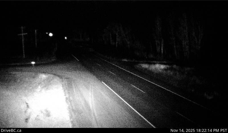
Image source: BC Ministry of Transportation and Transit
Latitude: 53.936241
Longitude: -123.750506
Google Maps: View
Apple Maps: View
Local Forecasts
Temperature, Relative Humidity and Wind Speed Chart
Loading Data...
Nearby Cameras
Highway 16 at Sob Lake Road in Vanderhoof, looking east.
Distance: approximately 0 metres
Highway 16 at Bobtail Forest Road near Bednesti Lake between Prince George and Vanderhoof, looking west.
Distance: approximately 23.16 kilometres
Highway 16 at Bobtail Forest Road near Bednesti Lake between Prince George and Vanderhoof, looking east.
Distance: approximately 23.16 kilometres
Highway 16 at Highway 27 junction, looking north.
Distance: approximately 25.62 kilometres