Stella Road - N Live Traffic Camera
Highway 16 at Stella Road in Fraser Lake, looking north.
Location: Area D (Endako/Fort Fraser), Regional District of Bulkley-Nechako, British Columbia, Canada
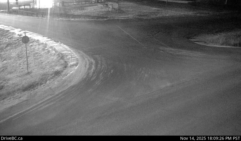
Image source: BC Ministry of Transportation and Transit
Latitude: 54.060751
Longitude: -124.914157
Google Maps: View
Apple Maps: View
Local Forecasts
Temperature, Relative Humidity and Wind Speed Chart
Loading Data...
Nearby Cameras
Highway 16 at Stella Road in Fraser Lake, looking west.
Distance: approximately 0 metres
Highway 16 at Stella Road in Fraser Lake, looking east.
Distance: approximately 0 metres
Highway 16 about 46 km east of Burns Lake, looking east.
Distance: approximately 17.48 kilometres
Highway 16 about 46 km east of Burns Lake, looking west.
Distance: approximately 17.48 kilometres