Lions Bay - S Live Traffic Camera
Hwy 99, in Lions Bay looking south.
Location: Lions Bay, Metro Vancouver Regional District, British Columbia, Canada
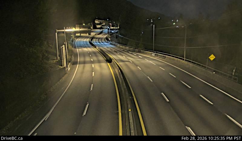
Image source: BC Ministry of Transportation and Transit
Latitude: 49.456617
Longitude: -123.237277
Google Maps: View
Apple Maps: View
Local Forecasts
Temperature, Relative Humidity and Wind Speed Chart
Loading Data...
Nearby Cameras
Highway 99 at Highway 1 ramp to Horseshoe Bay, looking east.
Distance: approximately 10.94 kilometres
Highway 99 at Highway 1 ramp to Horseshoe Bay, looking west.
Distance: approximately 10.94 kilometres
Highway 1 at Cross Creek Road / 15 Street exit in West Vancouver, looking east.
Distance: approximately 13.94 kilometres