Leadville Road Live Traffic Camera
Highway 3 about 18 km east of Creston in Kitchener, looking east.
Location: Area B (Goat River Valley), Regional District of Central Kootenay, British Columbia, Canada
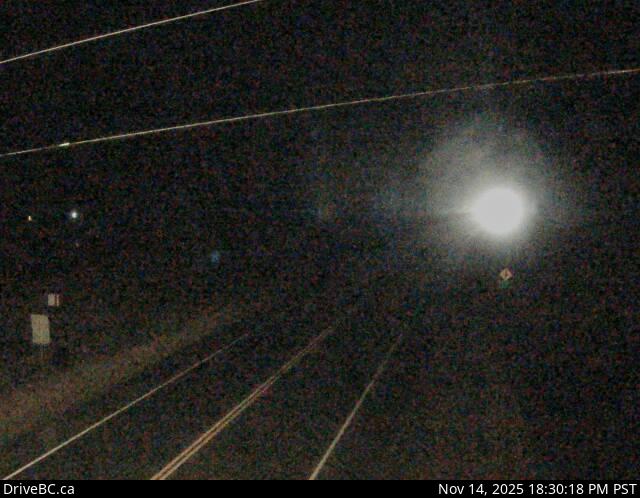
Image source: BC Ministry of Transportation and Transit
Latitude: 49.159063
Longitude: -116.334972
Google Maps: View
Apple Maps: View
Local Forecasts
Temperature, Relative Humidity and Wind Speed Chart
Loading Data...
Nearby Cameras
Highway 3 about 9 km northwest of Yahk near Goatfell, looking west.
Distance: approximately 13.25 kilometres
Highway 3 about 9 km northwest of Yahk near Goatfell, looking east.
Distance: approximately 13.25 kilometres
Highway 3 and Highway 3A junction in Creston, looking south.
Distance: approximately 14.46 kilometres
Highway 3 and Highway 3A junction in Creston, looking north.
Distance: approximately 14.46 kilometres