Daisy Lake - N Live Traffic Camera
Highway 99 at Daisy Lake Road, looking north.
Location: Area D (Elaho/Garibaldi), Squamish-Lillooet Regional District, British Columbia, Canada
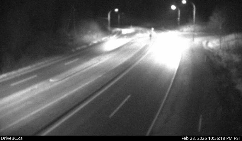
Image source: BC Ministry of Transportation and Transit
Latitude: 49.972524
Longitude: -123.142694
Google Maps: View
Apple Maps: View
Local Forecasts
Temperature, Relative Humidity and Wind Speed Chart
Loading Data...
Nearby Cameras
Highway 99 near Brew Creek Forest Service Road, looking north.
Distance: approximately 8.19 kilometres
Highway 99 near Brew Creek Forest Service Road, looking south.
Distance: approximately 8.19 kilometres
Highway 99 about 24 km north of Squamish, looking north.
Distance: approximately 8.99 kilometres