Eagle River - E Live Traffic Camera
Highway 1 about 33 km west of Revelstoke, looking east.
Location: Area E (Eagle River Valley), Columbia-Shuswap Regional District, British Columbia, Canada
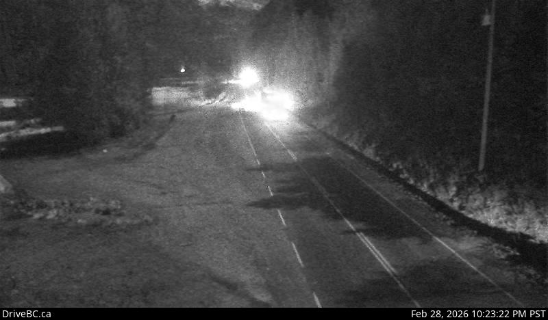
Image source: BC Ministry of Transportation and Transit
Latitude: 50.971122
Longitude: -118.587728
Google Maps: View
Apple Maps: View
Local Forecasts
Temperature, Relative Humidity and Wind Speed Chart
Loading Data...
Nearby Cameras
Highway 1 about 33 km west of Revelstoke, looking west.
Distance: approximately 0 metres
Highway 1 about 27 km west of Revelstoke by Griffin Lake, looking west.
Distance: approximately 5.67 kilometres
Highway 1 about 27 km west of Revelstoke by Griffin Lake, looking east.
Distance: approximately 5.67 kilometres
Highway 1 about 30 km east of Sicamous near Perry River Bridge, looking east.
Distance: approximately 8.04 kilometres