Bamberton - N Live Traffic Camera
Highway 1 south of Mill Bay Rd Overpass at the Bamberton Park Entrance, looking north.
Location: Area A (Mill Bay / Malahat), Cowichan Valley Regional District, British Columbia, Canada
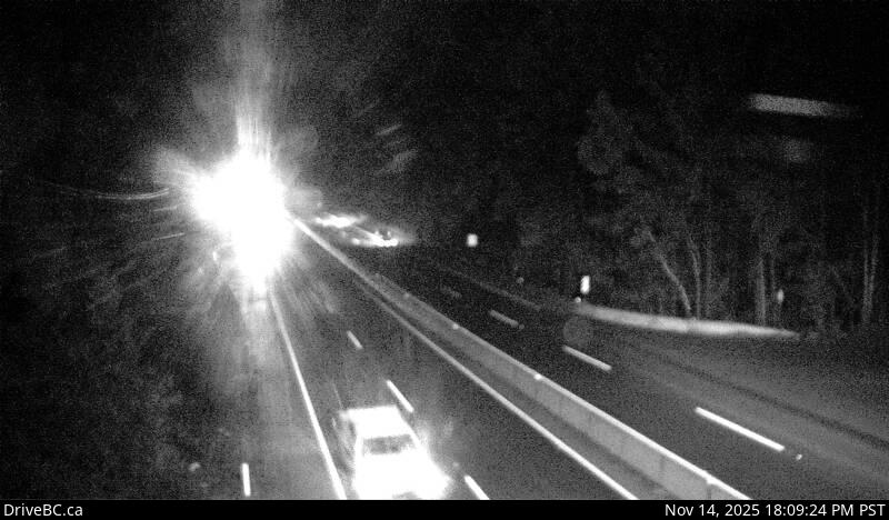
Image source: BC Ministry of Transportation and Transit
Latitude: 48.60105
Longitude: -123.535073
Google Maps: View
Apple Maps: View
Local Forecasts
Temperature, Relative Humidity and Wind Speed Chart
Loading Data...
Nearby Cameras
Highway 1 south of Mill Bay Road Overpass at the Bamberton Park Entrance, looking south.
Distance: approximately 0 metres
Highway 1 at Butterfield Road, approximately 3 km south of Mill Bay, looking north.
Distance: approximately 3.06 kilometres
Highway 1 at Butterfield Road, approximately 3 km south of Mill Bay, looking south.
Distance: approximately 3.06 kilometres
Highway 1, about 3.7 km south of Bamberton, looking northbound.
Distance: approximately 3.72 kilometres