Hwy 99 at Shell Road Live Traffic Camera
Highway 99 at Shell Road, approaching Oak Street Bridge, looking north.
Location: Richmond, Metro Vancouver Regional District, British Columbia, Canada
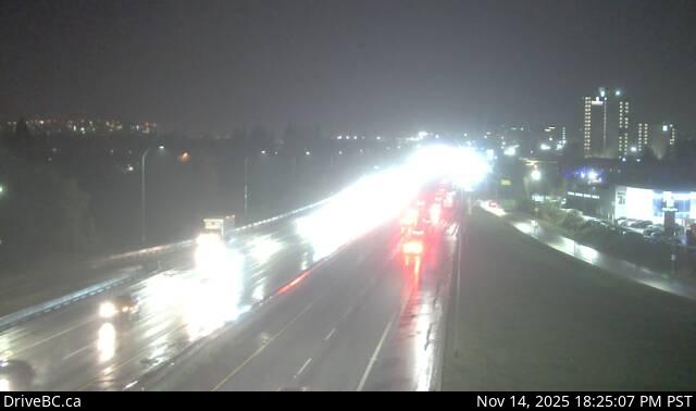
Image source: BC Ministry of Transportation and Transit
Latitude: 49.181794
Longitude: -123.103006
Google Maps: View
Apple Maps: View
Local Forecasts
Temperature, Relative Humidity and Wind Speed Chart
Loading Data...
Nearby Cameras
Highway 99 at Cambie Road in Richmond, looking north.
Distance: approximately 520 metres
Highway 99 at Cambie Road in Richmond, looking south.
Distance: approximately 520 metres
Highway 99 at Westminster Highway in Richmond, looking north.
Distance: approximately 2.00 kilometres
Highway 99 at Westminster Highway in Richmond, looking south.
Distance: approximately 2.00 kilometres