Highway 97 at Highway 97C - S Live Traffic Camera
Highway 97 at Highway 97C junction about 5 km south of Westbank, looking south.
Location: Westbank First Nation #9, Regional District of Central Okanagan, British Columbia, Canada
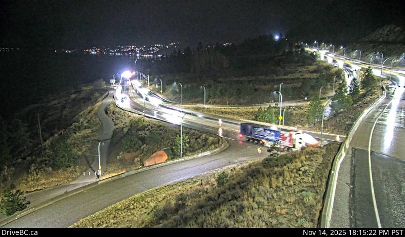
Image source: BC Ministry of Transportation and Transit
Latitude: 49.804376
Longitude: -119.665134
Google Maps: View
Apple Maps: View
Local Forecasts
Temperature, Relative Humidity and Wind Speed Chart
Loading Data...
Nearby Cameras
Highway 97 at Highway 97C junction about 5 km south of Westbank, looking north.
Distance: approximately 0 metres
Highway 97 at Highway 97C junction about 5 km south of Westbank, looking west.
Distance: approximately 0 metres
Highway 97 at Highway 97C junction about 5 km south of Westbank, looking east.
Distance: approximately 0 metres
Highway 97 at Callan Road, about 6 km north of Summerland and 15 km south of Peachland, looking south.
Distance: approximately 16.61 kilometres