Capilano - N Live Traffic Camera
Highway 1 (Upper Levels Highway) at Capilano Road, looking north.
Location: District of North Vancouver, Metro Vancouver Regional District, British Columbia, Canada
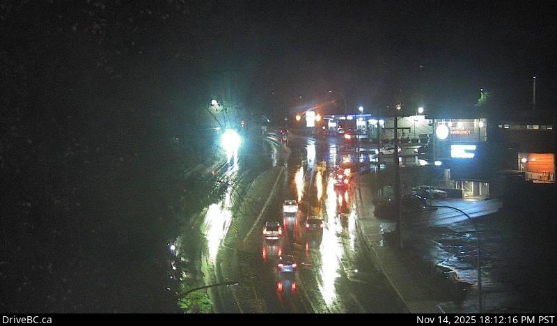
Image source: BC Ministry of Transportation and Transit
Latitude: 49.332622
Longitude: -123.115036
Google Maps: View
Apple Maps: View
Local Forecasts
Temperature, Relative Humidity and Wind Speed Chart
Loading Data...
Nearby Cameras
Highway 1 (Upper Levels Highway) at Capilano Road, looking west.
Distance: approximately 0 metres
Highway 1 (Upper Levels Highway) at Capilano Road, looking east.
Distance: approximately 0 metres
Highway 1 (Upper Levels Highway) at Capilano Road, looking south.
Distance: approximately 0 metres
Highway 1 at Hadden Drive off-ramp for Taylor Way, looking west.
Distance: approximately 889 metres