Dufferin - W Live Traffic Camera
Highway 1 about 9 km west of Kamloops, looking west.
Location: Kamloops, Thompson-Nicola Regional District, British Columbia, Canada
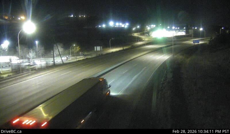
Image source: BC Ministry of Transportation and Transit
Latitude: 50.655637
Longitude: -120.388019
Google Maps: View
Apple Maps: View
Local Forecasts
Temperature, Relative Humidity and Wind Speed Chart
Loading Data...
Nearby Cameras
Highway 1 at Peterson Creek bridge in Kamloops, looking west.
Distance: approximately 4.53 kilometres
Highway 1 at Peterson Creek bridge in Kamloops, looking east.
Distance: approximately 4.53 kilometres
Highway 5 at Halston Avenue / Paul Lake Road in Kamloops, looking north.
Distance: approximately 7.27 kilometres