Chamulak Road Live Traffic Camera
Highway 97 about 36 km south of Prince George at Chamulak Road in Stoner, looking north.
Location: Area D (Tabor Lake/Stone Creek), Regional District of Fraser-Fort George, British Columbia, Canada
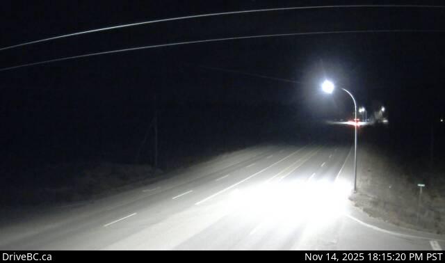
Image source: BC Ministry of Transportation and Transit
Latitude: 53.624539
Longitude: -122.663428
Google Maps: View
Apple Maps: View
Local Forecasts
Temperature, Relative Humidity and Wind Speed Chart
Loading Data...
Nearby Cameras
Highway 97 at Swanson Road near Hixon, looking north.
Distance: approximately 22.29 kilometres
Highway 16 at Davis Road in Prince George, looking eastbound.
Distance: approximately 28.77 kilometres
Highway 16 at Vance Road in Prince George, looking westbound.
Distance: approximately 29.35 kilometres
Highway 97 at Highway 16 junction in Prince George, looking eastbound on Highway 16.
Distance: approximately 31.10 kilometres