Mica Dam - S Live Traffic Camera
Highway 23 at Mica Dam about 152 km north of Revelstoke, looking south.
Location: Area B (Shelter Bay/Mica Creek), Columbia-Shuswap Regional District, British Columbia, Canada
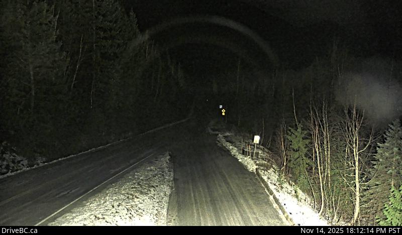
Image source: BC Ministry of Transportation and Transit
Latitude: 52.077
Longitude: -118.558
Google Maps: View
Apple Maps: View
Local Forecasts
Temperature, Relative Humidity and Wind Speed Chart
Loading Data...
Nearby Cameras
Highway 23 at Mica Dam about 152 km north of Revelstoke, looking north.
Distance: approximately 0 metres
Highway 5 at Shell Road in Blue River, looking northeast.
Distance: approximately 51.43 kilometres
Highway 23 about 90 km north of Revelstoke, looking north.
Distance: approximately 53.23 kilometres
Highway 5 about 40 km north of Blue River and 26 km south of Albreda, looking south.
Distance: approximately 54.50 kilometres