Hungry Hill - NW Live Traffic Camera
Highway 16 about 14 km northwest of Houston at Anderson Road, looking northwest.
Location: Area G (Morice Valley/Babine Valley), Regional District of Bulkley-Nechako, British Columbia, Canada
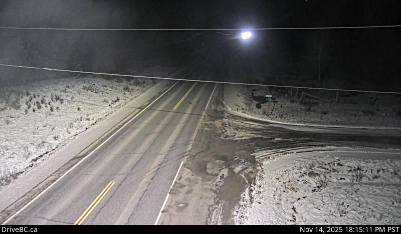
Image source: BC Ministry of Transportation and Transit
Latitude: 54.472342
Longitude: -126.746687
Google Maps: View
Apple Maps: View
Local Forecasts
Temperature, Relative Humidity and Wind Speed Chart
Loading Data...
Nearby Cameras
Highway 16 about 14 km northwest of Houston at Anderson Road, looking southeast.
Distance: approximately 0 metres
Highway 16 at North Nadina Avenue in Houston, looking north.
Distance: approximately 10.09 kilometres
Highway 16 at North Nadina Avenue in Houston, looking west.
Distance: approximately 10.09 kilometres
Highway 16 at North Nadina Avenue in Houston, looking east.
Distance: approximately 10.09 kilometres