Tsitika Live Traffic Camera
Highway 19 about 101 km north of Campbell River and about 27 km south of Woss near Tsitika, looking southeast.
Location: Area D (Nimpkish Valley/Cormorant Island), Regional District of Mount Waddington, British Columbia, Canada
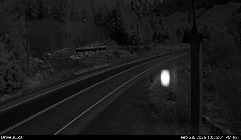
Image source: BC Ministry of Transportation and Transit
Latitude: 50.283389
Longitude: -126.351743
Google Maps: View
Apple Maps: View
Local Forecasts
Temperature, Relative Humidity and Wind Speed Chart
Loading Data...
Nearby Cameras
Highway 19 about 75 km southeast of Port McNeill and 128 km north of Campbell River, looking east.
Distance: approximately 18.84 kilometres
Highway 19 about 4.5 km south of Port McNeill near Hyde Creek Road, looking west.
Distance: approximately 56.36 kilometres
Highway 19 about 4.5 km south of Port McNeill near Hyde Creek Road, looking east.
Distance: approximately 56.36 kilometres
Highway 19 about 31 km north of Campbell River, looking north.
Distance: approximately 57.81 kilometres