Elkhart - W Live Traffic Camera
Highway 97C (Okanagan Connector) about 25 km east of Highway 5A and Highway 97C junction, looking west.
Location: Area H (Manning Park/Tulameen/Siwash), Regional District of Okanagan-Similkameen, British Columbia, Canada
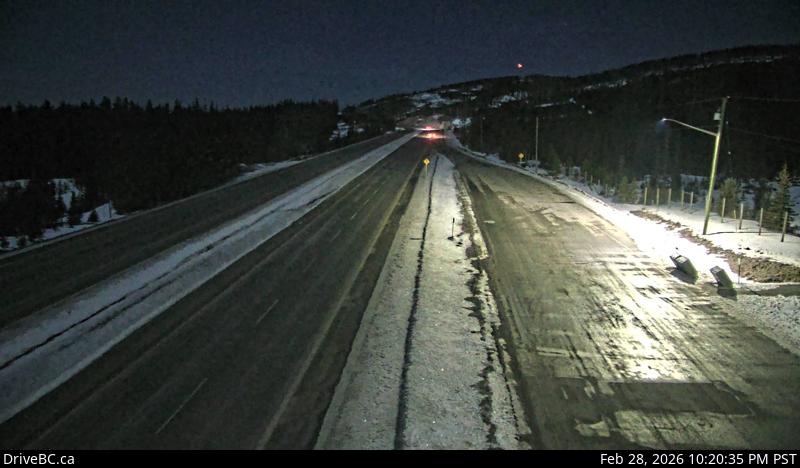
Image source: BC Ministry of Transportation and Transit
Latitude: 49.895795
Longitude: -120.354209
Google Maps: View
Apple Maps: View
Local Forecasts
Temperature, Relative Humidity and Wind Speed Chart
Loading Data...
Nearby Cameras
Highway 97C (Okanagan Connector) about 25 km east of Highway 5A and Highway 97C junction, looking east.
Distance: approximately 0 metres
Highway 97C (Okanagan Connector) about 7 km east of Aspen Grove near Pothole Lake, looking west.
Distance: approximately 14.59 kilometres
Highway 97C (Okanagan Connector) about 7 km east of Aspen Grove near Pothole Lake, looking east.
Distance: approximately 14.59 kilometres
Highway 97C (Okanagan Connector) at Highway 5A junction near Aspen Grove, looking south.
Distance: approximately 19.91 kilometres