Lougheed at Maple Meadows Way - S Live Traffic Camera
Highway 7 (Lougheed Highway) at Maple Meadows Way/Dewdney Trunk Road, looking south.
Location: Maple Ridge, Metro Vancouver Regional District, British Columbia, Canada
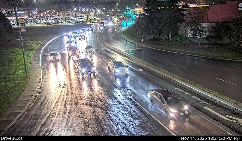
Image source: BC Ministry of Transportation and Transit
Latitude: 49.221046
Longitude: -122.664178
Google Maps: View
Apple Maps: View
Local Forecasts
Temperature, Relative Humidity and Wind Speed Chart
Loading Data...
Nearby Cameras
Highway 7 (Lougheed Highway) at Dewdney Trunk Road, looking north.
Distance: approximately 0 metres
Hwy 7 (Lougheed Hwy) at Dewdney Trunk Rd, looking west.
Distance: approximately 0 metres
Highway 7 (Lougheed Highway) at Dewdney Trunk Road, looking east.
Distance: approximately 0 metres
Highway 7 (Lougheed Highway) at Harris Road, looking east.
Distance: approximately 2.13 kilometres