Hwy 14 at Trailhead Drive Live Traffic Camera
Highway 14 near Cormorant Way / Trailhead Drive, looking west.
Location: Juan de Fuca Electoral Area, Capital Regional District, British Columbia, Canada
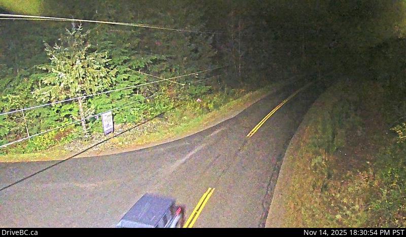
Image source: BC Ministry of Transportation and Transit
Latitude: 48.432102
Longitude: -124.06997
Google Maps: View
Apple Maps: View
Local Forecasts
Temperature, Relative Humidity and Wind Speed Chart
Loading Data...
Nearby Cameras
Highway 14 at Lazzar Road near Sooke, looking west.
Distance: approximately 27.84 kilometres
Highway 14 at Lazzar Road near Sooke, looking east.
Distance: approximately 27.84 kilometres
Highway 14 at Glinz Lake Road, looking north.
Distance: approximately 32.28 kilometres
Highway 14 at Glinz Lake Road, looking west.
Distance: approximately 32.28 kilometres