Dunster Station Road Live Traffic Camera
Highway 16 at Dunster Station Road, about 30 km east of McBride, looking east.
Location: Area H (Robson Valley/Canoe), Regional District of Fraser-Fort George, British Columbia, Canada
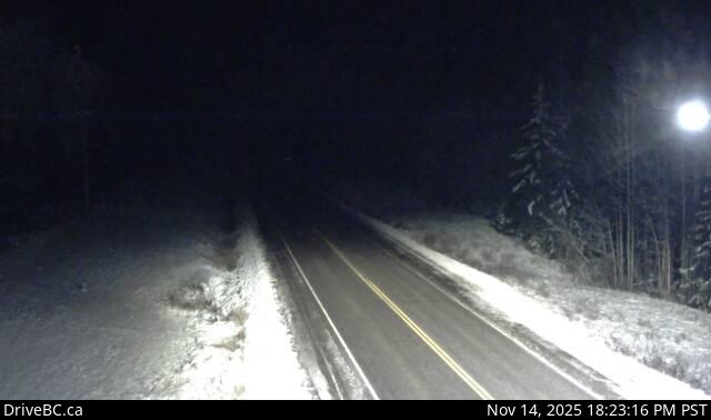
Image source: BC Ministry of Transportation and Transit
Latitude: 53.151756
Longitude: -119.824508
Google Maps: View
Apple Maps: View
Local Forecasts
Temperature, Relative Humidity and Wind Speed Chart
Loading Data...
Nearby Cameras
Highway 16 at Highway 5 junction, looking east.
Distance: approximately 33.25 kilometres
Highway 16 about 27 km east of Tete-Jaune Junction and 40 km west of BC-Alberta border, looking east.
Distance: approximately 53.57 kilometres