Trout Creek Live Traffic Camera
Highway 16 at the Trout Creek bridge, looking southeast.
Location: Area A (Hudson Bay Mountain), Regional District of Bulkley-Nechako, British Columbia, Canada
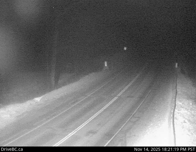
Image source: BC Ministry of Transportation and Transit
Latitude: 54.941205
Longitude: -127.325592
Google Maps: View
Apple Maps: View
Local Forecasts
Temperature, Relative Humidity and Wind Speed Chart
Loading Data...
Nearby Cameras
Highway 16 at Beaver Road in Witset, looking north.
Distance: approximately 8.64 kilometres
Highway 16 at Beaver Road in Witset, looking west.
Distance: approximately 8.64 kilometres
Highway 16 at Beaver Road in Witset, looking south.
Distance: approximately 8.64 kilometres
Highway 16 at Toronto Street in Smithers, looking north.
Distance: approximately 19.43 kilometres