Gitwinksihlkw Live Traffic Camera
Highway 113 at Anlaw Road near Gitwinksihlkw, within Nisga'a Memorial Lava Bed Provincial Park, looking east.
Location: Area A (Nass Valley/Bell Irving), Regional District of Kitimat-Stikine, British Columbia, Canada
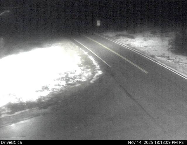
Image source: BC Ministry of Transportation and Transit
Latitude: 55.186929
Longitude: -129.199948
Google Maps: View
Apple Maps: View
Local Forecasts
Temperature, Relative Humidity and Wind Speed Chart
Loading Data...
Nearby Cameras
Highway 113 near the Village of Laxgalts'ap in the Nass Valley, looking eastbound.
Distance: approximately 29.66 kilometres
Highway 113 (Nass Road) about 3 km southwest of Village of Laxgalts'ap (Greenville), looking west.
Distance: approximately 32.54 kilometres
Highway 113 near Rosswood about 44 km north of Terrace, looking north.
Distance: approximately 46.61 kilometres
Highway 16 at Highway 37 near Kitwanga, looking west on Highway 16.
Distance: approximately 72.08 kilometres