Wells Live Traffic Camera
Highway 26 near Wells about 78 km east of Quesnel, looking west.
Location: Wells, Cariboo Regional District, British Columbia, Canada
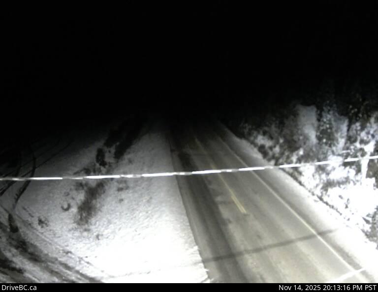
Image source: BC Ministry of Transportation and Transit
Latitude: 53.098144
Longitude: -121.580271
Google Maps: View
Apple Maps: View
Local Forecasts
Temperature, Relative Humidity and Wind Speed Chart
Loading Data...
Nearby Cameras
Highway 97 about 25 km north of Quesnel near Hush Lake Road, looking north.
Distance: approximately 52.74 kilometres
Highway 97 about 25 km north of Quesnel near Hush Lake Road, looking south.
Distance: approximately 52.74 kilometres
Highway 97 at Sales Road about 10 km south of Quesnel, looking south.
Distance: approximately 60.58 kilometres
Highway 97 at Sales Road, about 10km south of Quesnel, looking north.
Distance: approximately 60.58 kilometres