Powell River Live Traffic Camera
Highway 101 near Loubert Road in the qathet Regional District, looking south.
Location: Area C (Lois Lake/Saltery Bay), qathet Regional District, British Columbia, Canada
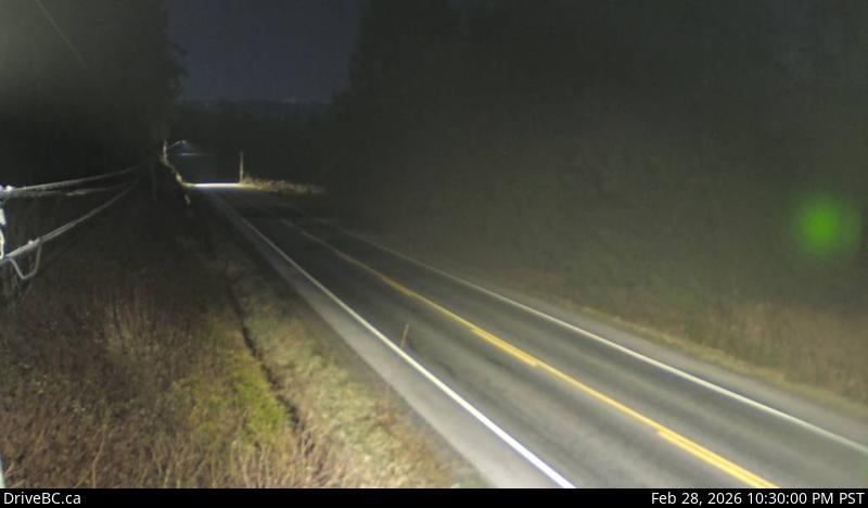
Image source: BC Ministry of Transportation and Transit
Latitude: 49.775088
Longitude: -124.300637
Google Maps: View
Apple Maps: View
Local Forecasts
Temperature, Relative Humidity and Wind Speed Chart
Loading Data...
Nearby Cameras
Highway 101 at Egmont Road, south of Earls Cove on the Sunshine Coast, looking South.
Distance: approximately 21.71 kilometres
Highway 101 about 8.5 km south of Lund, looking north.
Distance: approximately 33.11 kilometres
Highway 101 about 8.5 km south of Lund, looking south.
Distance: approximately 33.11 kilometres
Highway 101 at Brooks Road on the Sunshine Coast, looking south.
Distance: approximately 39.19 kilometres