Augier Road - W Live Traffic Camera
Highway 16 about 22 km east of Burns Lake at Augier Road, looking west.
Location: Area B (Broman Lake/Sheraton), Regional District of Bulkley-Nechako, British Columbia, Canada
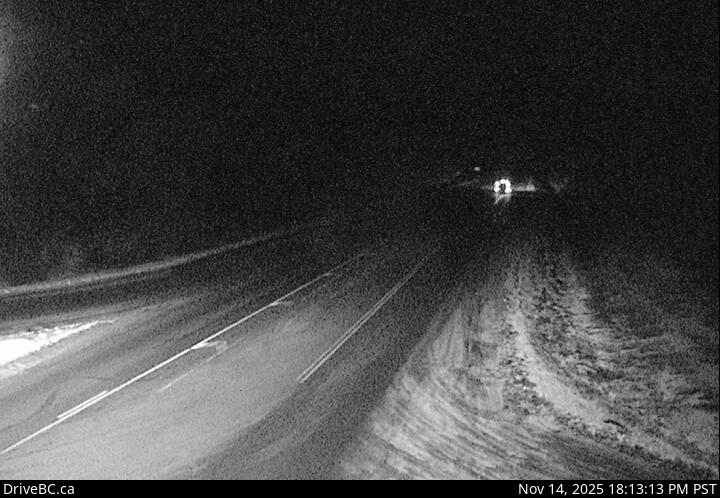
Image source: BC Ministry of Transportation and Transit
Latitude: 54.173027
Longitude: -125.460943
Google Maps: View
Apple Maps: View
Local Forecasts
Temperature, Relative Humidity and Wind Speed Chart
Loading Data...
Nearby Cameras
Highway 16 about 22 km east of Burns Lake at Augier Road, looking north.
Distance: approximately 0 metres
Highway 16 about 22 km east of Burns Lake at Augier Road, looking south.
Distance: approximately 0 metres
Highway 16 about 32 km east of Burns Lake, looking east.
Distance: approximately 8.29 kilometres
Highway 35 near Martin Road between Burns Lake and Francois Lake Northbank Ferry Landing, looking north.
Distance: approximately 17.32 kilometres