Crescent Spur Live Traffic Camera
Highway 16 about 50 km west of McBride at Loos Road, looking west.
Location: Area H (Robson Valley/Canoe), Regional District of Fraser-Fort George, British Columbia, Canada
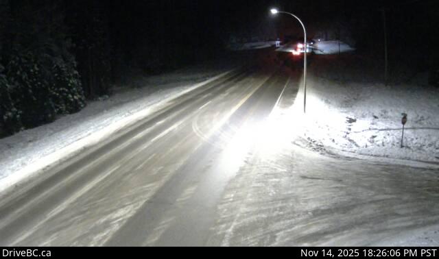
Image source: BC Ministry of Transportation and Transit
Latitude: 53.537706
Longitude: -120.707692
Google Maps: View
Apple Maps: View
Local Forecasts
Temperature, Relative Humidity and Wind Speed Chart
Loading Data...
Nearby Cameras
Highway 16 about 0.4 km east of the Slim Creek Rest Area, looking east.
Distance: approximately 35.13 kilometres
Highway 16 about 0.4 km east of the Slim Creek Rest Area, looking west.
Distance: approximately 35.13 kilometres