Cranbrook Live Traffic Camera
Highway 3/95 at 9 Avenue in Cranbrook, looking northeast.
Location: Cranbrook, Regional District of East Kootenay, British Columbia, Canada
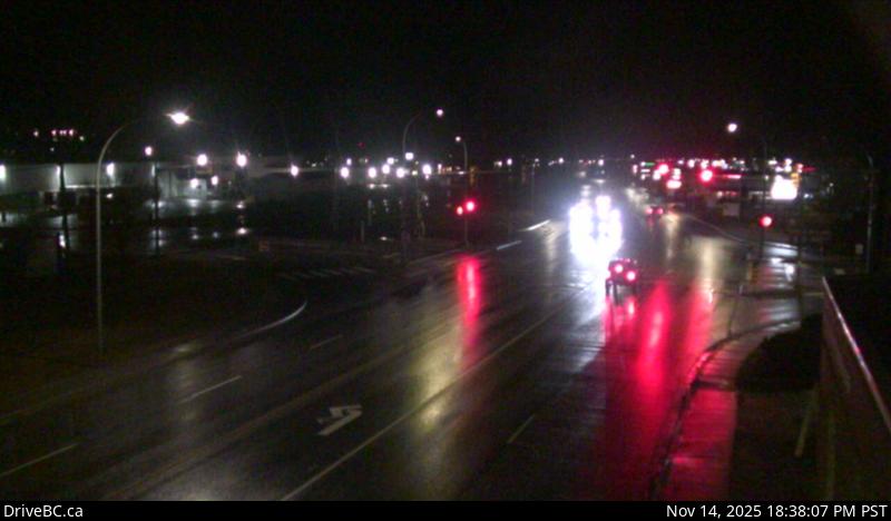
Image source: BC Ministry of Transportation and Transit
Latitude: 49.512601
Longitude: -115.770085
Google Maps: View
Apple Maps: View
Local Forecasts
Temperature, Relative Humidity and Wind Speed Chart
Loading Data...
Nearby Cameras
Highway 3/93 near Ha Ha Creek Road, looking northwest.
Distance: approximately 18.23 kilometres
Highway 3/93 near Ha Ha Creek Road, looking southeast.
Distance: approximately 18.23 kilometres
Highway 95A at Black Bear Crescent about 3 km south of Kimberley, looking southwest.
Distance: approximately 21.75 kilometres
Highway 3 near the south end of Moyie Lake, looking north.
Distance: approximately 21.90 kilometres