Pitt Meadows Live Traffic Camera
Highway 7 (Lougheed Highway) at Kennedy Road, looking southeast, towards Pitt Meadows.
Location: Pitt Meadows, Metro Vancouver Regional District, British Columbia, Canada
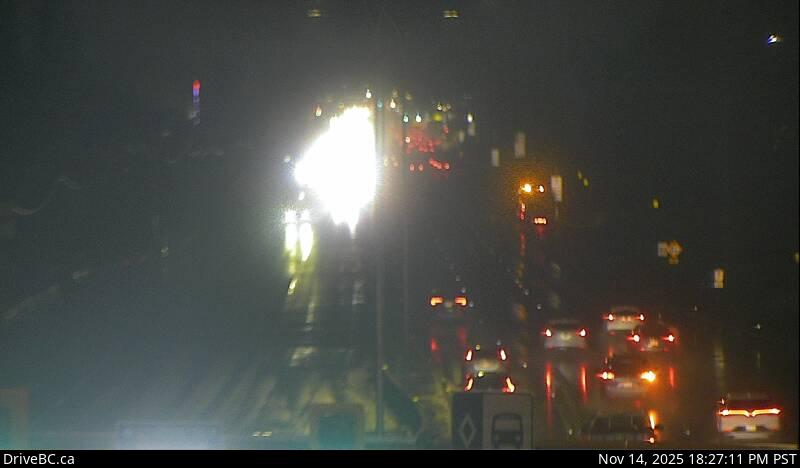
Image source: BC Ministry of Transportation and Transit
Latitude: 49.2429
Longitude: -122.719
Google Maps: View
Apple Maps: View
Local Forecasts
Temperature, Relative Humidity and Wind Speed Chart
Loading Data...
Nearby Cameras
Highway 7 (Lougheed Highway) at Kennedy Road, looking southeast.
Distance: approximately 0 metres
Highway 7 (Lougheed Highway) at Kennedy Road, looking northwest towards Pitt River Bridge.
Distance: approximately 0 metres
Hwy 7B, on Mary Hill at Kingsway Ave, looking west.
Distance: approximately 1.79 kilometres