Line Creek Mine Road Live Traffic Camera
Highway 43 between Sparwood and Elkford at Line Creek Mine Road, looking north.
Location: Area A (Upper Flathead/Elk Valley), Regional District of East Kootenay, British Columbia, Canada
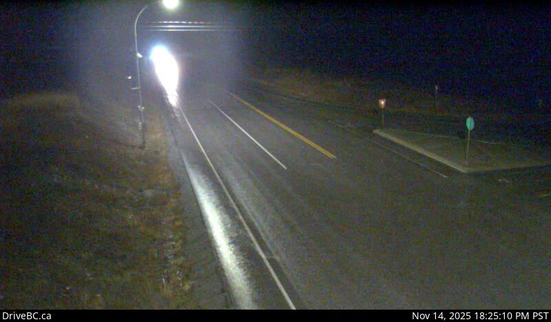
Image source: BC Ministry of Transportation and Transit
Latitude: 49.883292
Longitude: -114.890622
Google Maps: View
Apple Maps: View
Local Forecasts
Temperature, Relative Humidity and Wind Speed Chart
Loading Data...
Nearby Cameras
Highway 43 at Fording River Road in Elkford, looking north.
Distance: approximately 15.50 kilometres
Highway 43 at Fording River Road in Elkford, looking west.
Distance: approximately 15.50 kilometres
Highway 43 at Fording River Road in Elkford, looking east.
Distance: approximately 15.50 kilometres
Highway 43 at Fording River Road in Elkford, looking south.
Distance: approximately 15.50 kilometres