Wedge Live Traffic Camera
Highway 99 about 13 km north of Whistler at Riverside Drive, looking north.
Location: Area C (Pemberton Valley/Mount Currie/D'Arcy), Squamish-Lillooet Regional District, British Columbia, Canada
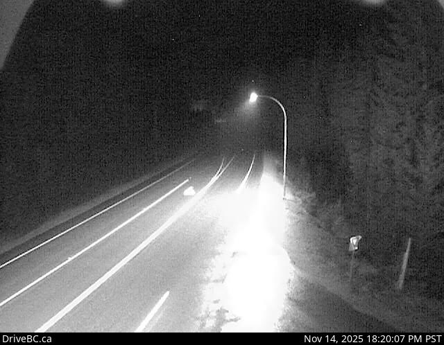
Image source: BC Ministry of Transportation and Transit
Latitude: 50.184662
Longitude: -122.873938
Google Maps: View
Apple Maps: View
Local Forecasts
Temperature, Relative Humidity and Wind Speed Chart
Loading Data...