Onion Lake Live Traffic Camera
Highway 37S at Onion Lake Cross Country Ski trails, looking north.
Location: Area C (Butedale/Kitlope/Kitsumkalum), Regional District of Kitimat-Stikine, British Columbia, Canada
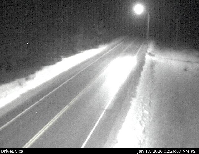
Image source: BC Ministry of Transportation and Transit
Latitude: 54.295274
Longitude: -128.536025
Google Maps: View
Apple Maps: View
Local Forecasts
Temperature, Relative Humidity and Wind Speed Chart
Loading Data...
Nearby Cameras
Highway 37 about 5 km north of Kitimat at Oolichan Avenue, looking north.
Distance: approximately 22.62 kilometres
Highway 16 at Highway 37S on the border of Terrace and Thornhill, looking east on Highway 16.
Distance: approximately 24.10 kilometres
Highway 16 at Highway 37S on the border of Terrace and Thornhill, looking west.
Distance: approximately 24.10 kilometres
Highway 16 at Highway 37S on the border of Terrace and Thornhill, looking south.
Distance: approximately 24.10 kilometres