Fort Nelson Live Traffic Camera
Highway 97 at Fort Nelson weigh scale, looking north.
Location: Muskwa, Northern Rockies Regional Municipality, British Columbia, Canada
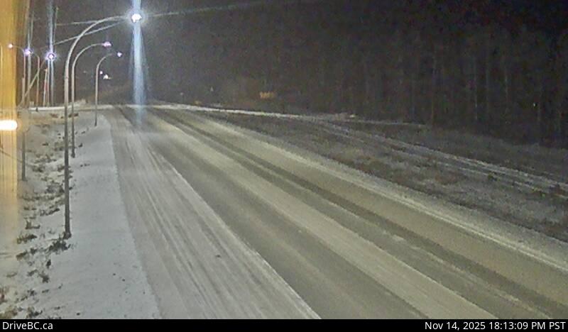
Image source: BC Ministry of Transportation and Transit
Latitude: 58.747749
Longitude: -122.677849
Google Maps: View
Apple Maps: View
Local Forecasts
Temperature, Relative Humidity and Wind Speed Chart
Loading Data...
Nearby Cameras
Highway 97 at Highway 77 junction about 28 km north of Fort Nelson, looking east.
Distance: approximately 30.86 kilometres
Highway 97 about 6 km south of the Sikanni River Bridge and about 175 km north of Fort St. John, looking north.
Distance: approximately 172.05 kilometres
Highway 97 at Beaton Highway about 44 km north of Fort St. John, looking north.
Distance: approximately 259.57 kilometres
Highway 97 at Beaton Highway about 44 km north of Fort St. John, looking south.
Distance: approximately 259.57 kilometres