Nakusp - N Live Traffic Camera
Highway 6 and Highway 23 Junction in Nakusp, looking north on Highway 6.
Location: Nakusp, Regional District of Central Kootenay, British Columbia, Canada
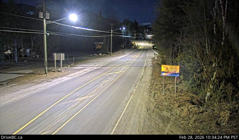
Image source: BC Ministry of Transportation and Transit
Latitude: 50.249722
Longitude: -117.811111
Google Maps: View
Apple Maps: View
Local Forecasts
Temperature, Relative Humidity and Wind Speed Chart
Loading Data...
Nearby Cameras
Highway 6 and Highway 23 Junction in Nakusp, looking south on Highway 6.
Distance: approximately 0 metres
Highway 6 at South Arrow Park Ferry Terminal, 22 km south of Nakusp at junction of Upper and Lower Arrow Lakes, looking north.
Distance: approximately 17.50 kilometres
Highway 6 at South Arrow Park Ferry Terminal, 22 km south of Nakusp at junction of Upper and Lower Arrow Lakes, looking at north landing.
Distance: approximately 17.50 kilometres
Highway 6 at South Arrow Park Ferry Terminal, 22 km south of Nakusp at junction of Upper and Lower Arrow Lakes, looking south on Arrow Park Road.
Distance: approximately 17.50 kilometres