Galena Bay Landing - Ferry Ramp Live Traffic Camera
Highway 23, at the bottom of the Upper Arrow Lake ferry landing at Galena Bay, looking at ferry boarding.
Location: Area B (Shelter Bay/Mica Creek), Columbia-Shuswap Regional District, British Columbia, Canada
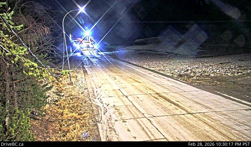
Image source: BC Ministry of Transportation and Transit
Latitude: 50.626631
Longitude: -117.867079
Google Maps: View
Apple Maps: View
Local Forecasts
Temperature, Relative Humidity and Wind Speed Chart
Loading Data...
Nearby Cameras
Highway 23, at the bottom of the Upper Arrow Lake ferry landing at Galena Bay, looking at lineup.
Distance: approximately 0 metres
Highway 23 near the Upper Arrow Lake ferry landing at Galena Bay, looking at end of lineup.
Distance: approximately 105 metres
Highway 23 near the Upper Arrow Lake ferry landing at Galena Bay, looking at front of lineup.
Distance: approximately 251 metres
Highway 23 near the Upper Arrow Lake ferry landing at Shelter Bay, end of queue, looking north.
Distance: approximately 4.39 kilometres