Port Hardy - N Live Traffic Camera
Highway 19 at Douglas Street, looking north along Highway 19 (Bear Cove Highway).
Location: Port Hardy, Regional District of Mount Waddington, British Columbia, Canada
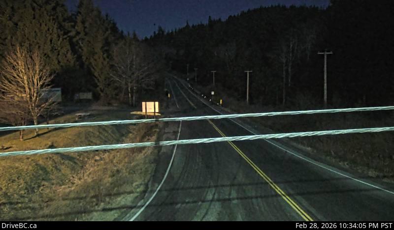
Image source: BC Ministry of Transportation and Transit
Latitude: 50.692866
Longitude: -127.467786
Google Maps: View
Apple Maps: View
Local Forecasts
Temperature, Relative Humidity and Wind Speed Chart
Loading Data...
Nearby Cameras
Highway 19 at Douglas Street, looking west along Douglas Street.
Distance: approximately 0 metres
Highway 19 at Douglas Street, looking east along Highway 19.
Distance: approximately 0 metres
Highway 19 at Highway 30 (Port Alice Road) between Port Hardy and Port McNeill, looking south.
Distance: approximately 14.98 kilometres
Highway 19 at Campbell Way in Port McNeill, looking west.
Distance: approximately 31.24 kilometres