Comstock - S Live Traffic Camera
Highway 5 about 15 km south of Merritt at Comstock Road, looking south.
Location: Area N (Beautiful Nicola Valley - South), Thompson-Nicola Regional District, British Columbia, Canada
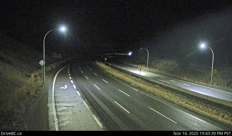
Image source: BC Ministry of Transportation and Transit
Latitude: 50.019719
Longitude: -120.820433
Google Maps: View
Apple Maps: View
Local Forecasts
Temperature, Relative Humidity and Wind Speed Chart
Loading Data...
Nearby Cameras
Highway 5 about 15 km south of Merritt at Comstock Road, looking north.
Distance: approximately 0 metres
Highway 97C (Okanagan Connector) at Highway 5A junction near Aspen Grove, looking south.
Distance: approximately 16.26 kilometres
Highway 97C (Okanagan Connector) at Highway 5A junction near Aspen Grove, looking north.
Distance: approximately 16.26 kilometres
Highway 97C (Okanagan Connector) about 7 km east of Aspen Grove near Pothole Lake, looking west.
Distance: approximately 21.53 kilometres