Christina Lake - SE Live Traffic Camera
Highway 3 at East Lake Drive on east side of Christina Lake, looking southeast.
Location: Area C (Christina Lake), Regional District of Kootenay Boundary, British Columbia, Canada
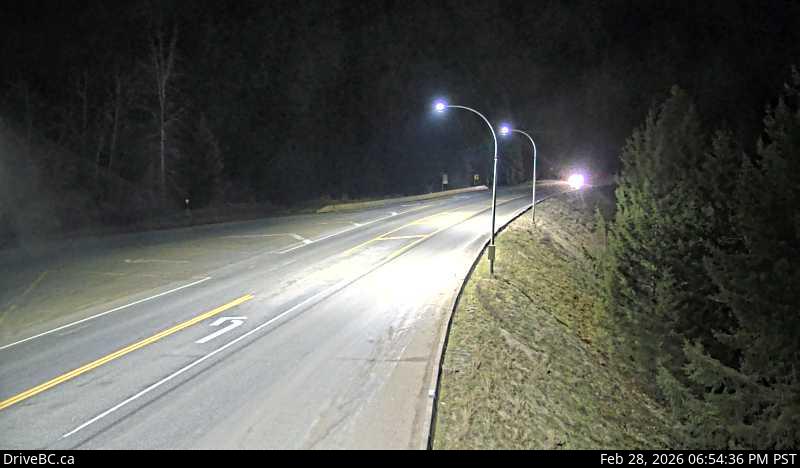
Image source: BC Ministry of Transportation and Transit
Latitude: 49.100702
Longitude: -118.222612
Google Maps: View
Apple Maps: View
Local Forecasts
Temperature, Relative Humidity and Wind Speed Chart
Loading Data...
Nearby Cameras
Highway 3 at East Lake Drive on east side of Christina Lake, looking northwest.
Distance: approximately 0 metres
Highway 3 near the Paulson Summit, looking west.
Distance: approximately 19.94 kilometres
Highway 3 about 16 km northeast of Greenwood at Wilgress Rest Area near Eholt Summit, looking westbound.
Distance: approximately 23.23 kilometres
Highway 3B about 15 km north of Rossland and 4 km south of summit, looking north.
Distance: approximately 27.61 kilometres