Galena Road - W Live Traffic Camera
Highway 31 in Galena Pass, looking westbound.
Location: Area B (Shelter Bay/Mica Creek), Columbia-Shuswap Regional District, British Columbia, Canada
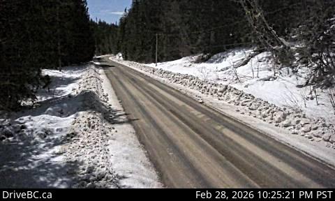
Image source: BC Ministry of Transportation and Transit
Latitude: 50.70195
Longitude: -117.74273
Google Maps: View
Apple Maps: View
Local Forecasts
Temperature, Relative Humidity and Wind Speed Chart
Loading Data...
Nearby Cameras
Highway 23 near the Upper Arrow Lake ferry landing at Galena Bay, looking at end of lineup.
Distance: approximately 12.08 kilometres
Highway 23 near the Upper Arrow Lake ferry landing at Galena Bay, looking at front of lineup.
Distance: approximately 12.11 kilometres
Highway 23, at the bottom of the Upper Arrow Lake ferry landing at Galena Bay, looking at lineup.
Distance: approximately 12.12 kilometres