McCulloch - S Live Traffic Camera
Highway 33 about 41 km southeast of Kelowna, just south of Big White Road, looking south.
Location: Area E (Beaverdell/West Boundary), Regional District of Kootenay Boundary, British Columbia, Canada
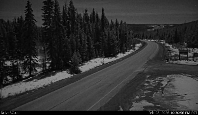
Image source: BC Ministry of Transportation and Transit
Latitude: 49.757721
Longitude: -119.126135
Google Maps: View
Apple Maps: View
Local Forecasts
Temperature, Relative Humidity and Wind Speed Chart
Loading Data...
Nearby Cameras
Highway 33 about 41 km southeast of Kelowna, just south of Big White Road, looking north.
Distance: approximately 0 metres
Highway 97 at Highway 33 in Kelowna, looking north on Highway 97.
Distance: approximately 25.72 kilometres
Highway 97 at Highway 33 in Kelowna, looking south on Highway 97.
Distance: approximately 25.72 kilometres
Highway 97 in Lake Country by Wood Lake, looking north.
Distance: approximately 38.92 kilometres