Trout Lake - W Live Traffic Camera
Highway 101 about 10 km north of Sechelt, looking west.
Location: Area B (Halfmoon Bay), Sunshine Coast Regional District, British Columbia, Canada
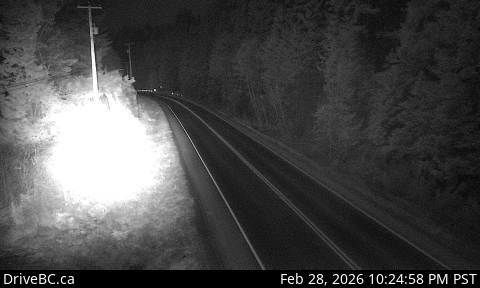
Image source: BC Ministry of Transportation and Transit
Latitude: 49.50725
Longitude: -123.87978
Google Maps: View
Apple Maps: View
Local Forecasts
Temperature, Relative Humidity and Wind Speed Chart
Loading Data...
Nearby Cameras
Highway 101 about 10 km north of Sechelt, looking east.
Distance: approximately 0 metres
Highway 101 at Brooks Road on the Sunshine Coast, looking south.
Distance: approximately 3.49 kilometres
Highway 101 at Egmont Road, south of Earls Cove on the Sunshine Coast, looking South.
Distance: approximately 27.93 kilometres
Highway 101 at top of Gibsons Bypass at Stewart Road, looking northeast.
Distance: approximately 28.28 kilometres