Mad River - N Live Traffic Camera
Highway 5 about 18 km northeast of Vavenby, looking northbound.
Location: Area B (Thompson Headwaters), Thompson-Nicola Regional District, British Columbia, Canada
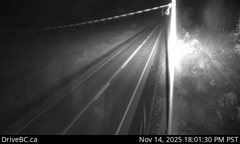
Image source: BC Ministry of Transportation and Transit
Latitude: 51.66977
Longitude: -119.56575
Google Maps: View
Apple Maps: View
Local Forecasts
Temperature, Relative Humidity and Wind Speed Chart
Loading Data...
Nearby Cameras
Highway 5 about 18 km southwest of Vavenby, looking southbound.
Distance: approximately 0 metres
Highway 5 about 15 km south of Avola, looking north.
Distance: approximately 10.00 kilometres
Highway 5 about 15 km south of Avola, looking south.
Distance: approximately 10.00 kilometres
Highway 5 at Clearwater Valley Road, looking north.
Distance: approximately 32.63 kilometres